Geospatial lead-generation SaaS
GeoLead
A Google Maps prospecting system that uses verified administrative boundaries, from area selection to sales-ready lead exports.
Visit site- Year
- 2026
- Role
- Operations discovery, product direction, workflow design, and AI-assisted solution delivery
- Key proof
- 83,518 raw village polygons indexed
Challenge
The problem to solve
Google Maps search results do not follow administrative boundaries with enough precision. Sales teams need verifiable coverage, a controlled search process, and reusable output.
Approach
From process to system
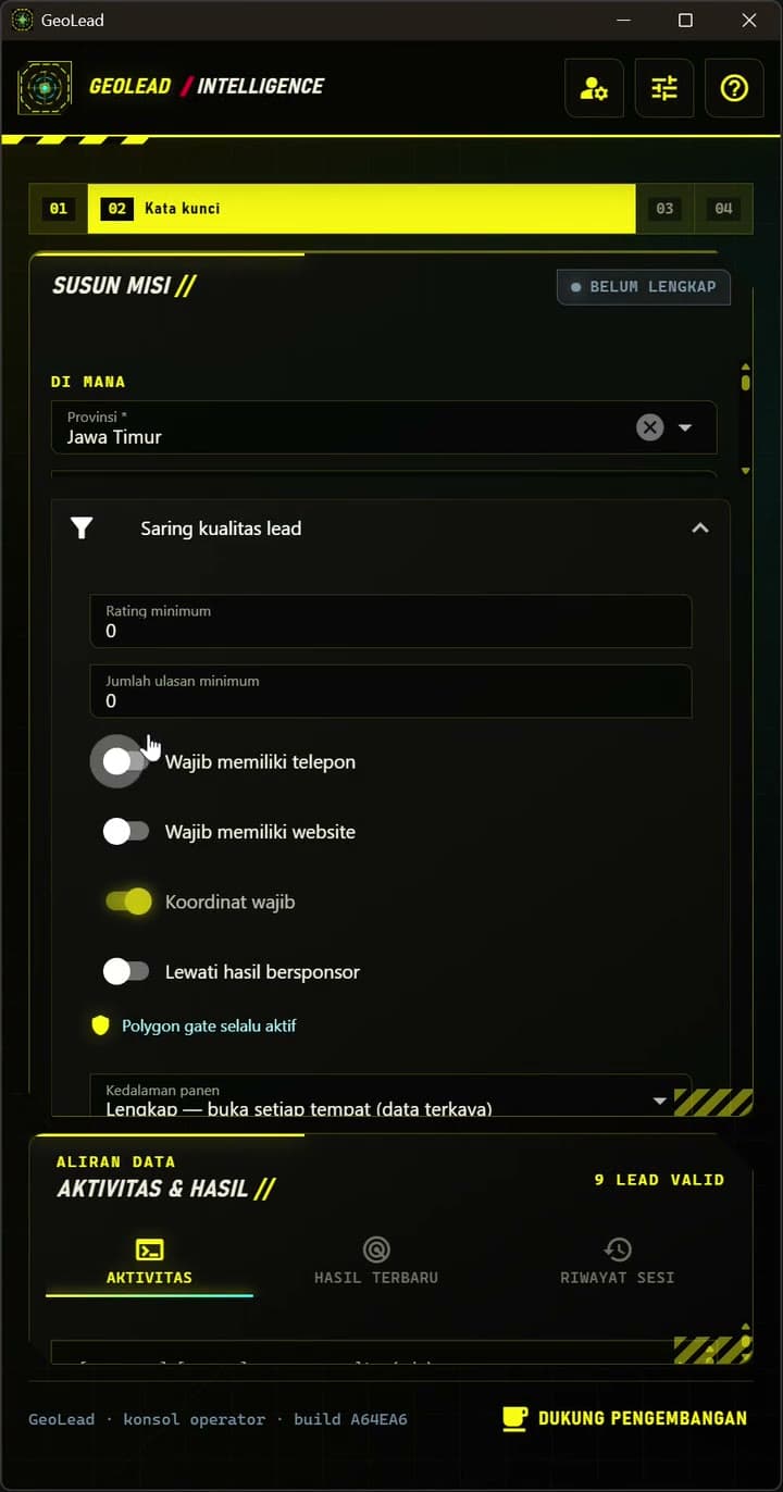
I designed an operator desktop that combines visible browser search, administrative polygon selection, business-location validation, mission queues, and Excel export. The commercial site manages licensing, vouchers, checkout, and installer delivery.
Outcome
What changed
The result is a sellable product with an end-to-end flow from acquisition and licence activation to mission execution and audit. Its national boundary index covers 38 provinces and 83,518 raw village polygons.
Solution scope